
What to know about Putnam
TxDOT identifies the FM 880 segment beginning at the I-20 south frontage road in Putnam and continuing toward FM 2228. Source: ftp.txdot.gov.
For the incorporated-place boundary, see the Census reference for Putnam. Confirm the actual site access and utilities with the property owner.
The Region 7 flood plan lists a proposed Putnam NFIP participation strategy for riverine flood risk, supporting a parcel flood check for low-lying sites. Source: twdb.texas.gov.
For a Putnam trailer arriving from I-20, confirm which frontage-road entrance reaches FM 880 and whether the destination accommodates a delivery truck.
Putnam at a glance
- Population
- 70
- Place type
- Incorporated town
- County
- Callahan
The U.S. Census Bureau table reports a July 1, 2025 population estimate for this incorporated town. It is an estimate, not a current headcount. Texas place population table.
Plan basecamp support for the actual site
For a temporary basecamp, plan sleeping, meals, sanitation, laundry, supply deliveries and waste collection as one operating layout. Confirm the exact equipment against the project address and operating plan.
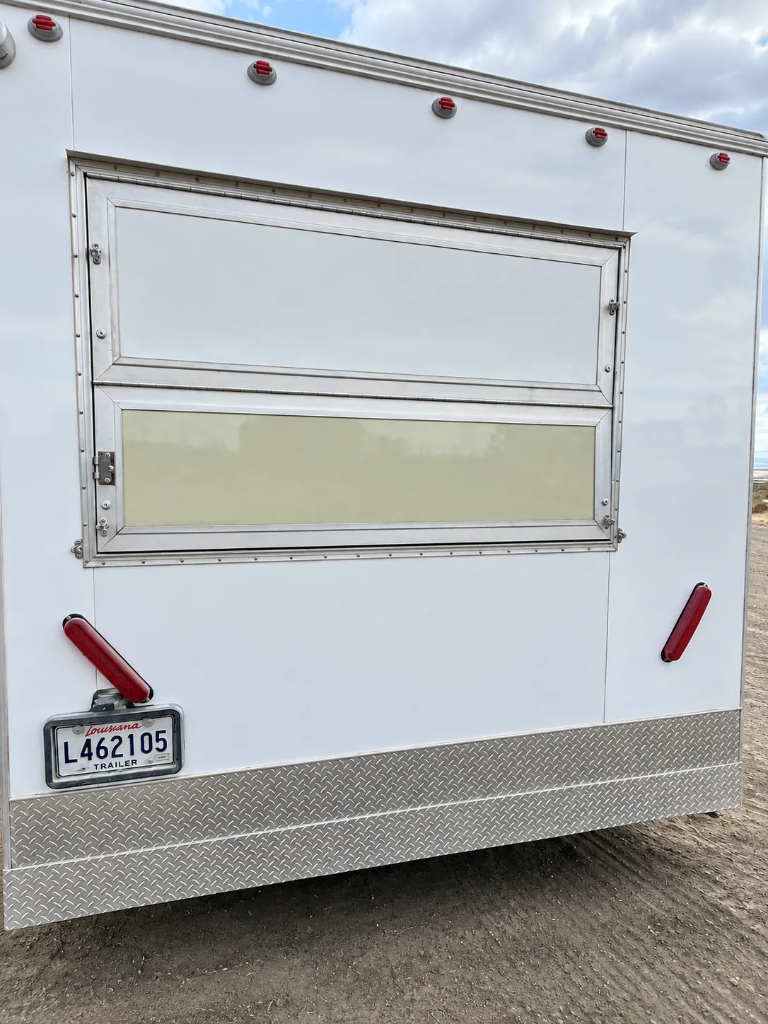
Prepare a useful Putnam site brief
- Address and access. Share the exact site, placement surface, clearance, turning route and unloading point.
- Operations. State the dates, staffing or visitor pattern, daily volume and any restrictions on deliveries or servicing.
- Utilities. Document available power, potable water, wastewater arrangements and who will approve connections.
- Equipment fit. Describe the function, capacity and workflow so the team can check a proposed unit rather than relying on a category name alone.