
What to know about Benton
Benton borders the Alabama River and lies on the Selma to Montgomery National Historic Trail. Source: atlasalabama.gov.
For a temporary gathering near an attraction in Benton, map existing restroom capacity, visitor routes, accessible placement, and service access.
Benton at a glance
- Population
- 41
- County
- Lowndes
- Housing units
- 19
- Land area
- 0.3 sq mi
These are 2020 Census figures, not current population estimates. U.S. Census Bureau place table · County source.
Plan temporary restrooms for the actual site
For temporary restrooms, estimate users by shift or event period and check fixture layout, accessible routes, water, wastewater and servicing access. The local context above helps frame the questions; the exact equipment depends on the project address and operating plan.
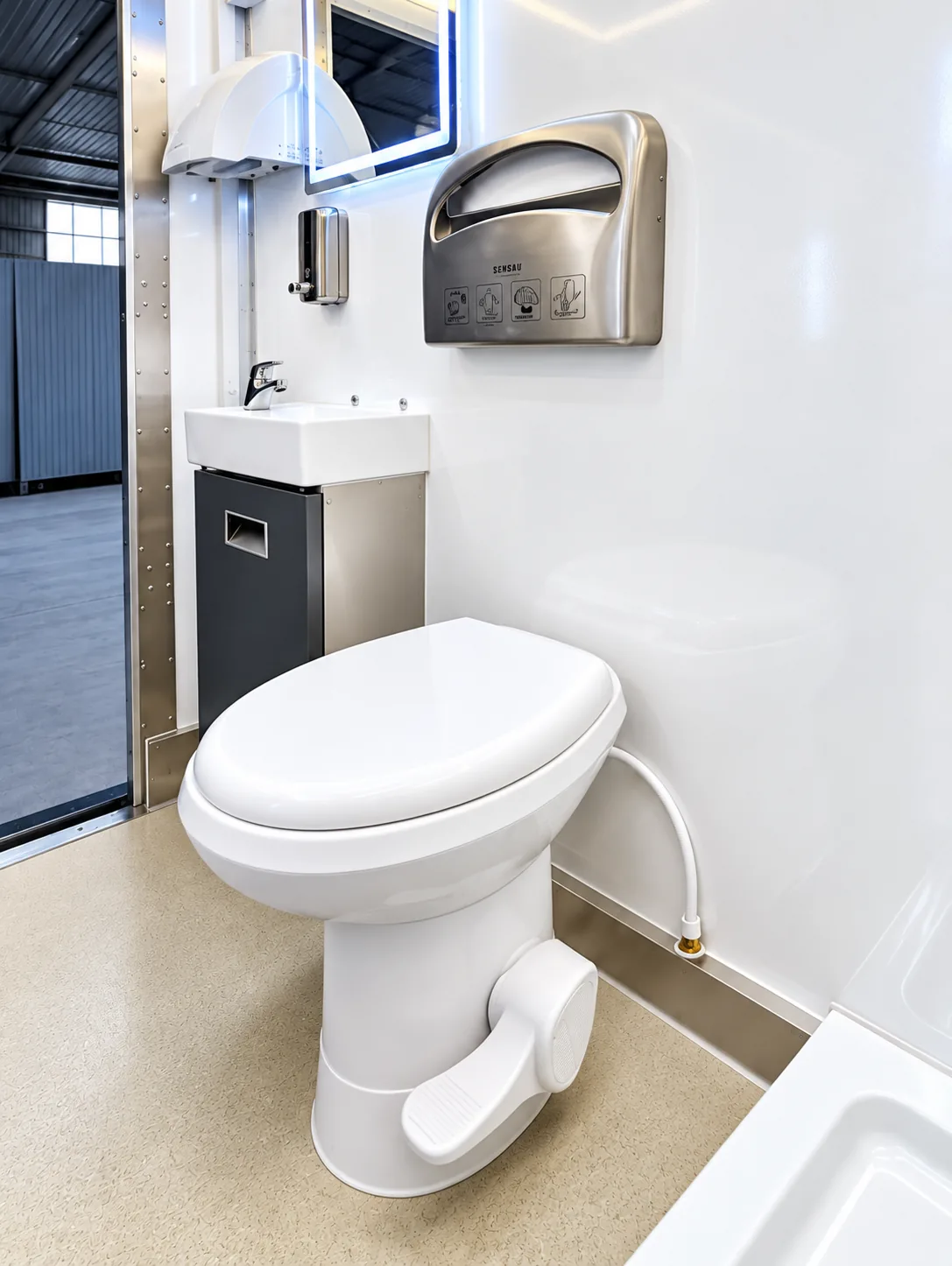
Prepare a useful Benton site brief
- Address and access. Share the exact site, placement surface, clearance, turning route and unloading point.
- Operations. State the dates, staffing or visitor pattern, daily volume and any restrictions on deliveries or servicing.
- Utilities. Document available power, potable water, wastewater arrangements and who will approve connections.
- Equipment fit. Describe the function, capacity and workflow so the team can check a proposed unit rather than relying on a category name alone.